 Tweet
Tweet
Unknown.
Lots of stupid rumors, but that is all they are - speculation and rumors. I am 99.999% sure there are no power lines anywhere near where fire originated. Speculation focuses on campers, tweaker-"campers", lightning strike, but I have not seen nor heard anything to substantiate any of it.
It started in the El Dorado National Forest south-east of Grizzly Flats. It started small and the powers to be kept telling everyone not to worry about it. It stayed in the 30-45 acre range for a couple days.
It then started down the canyon of the Middle Fork of the Consumnes - mostly on the southern side, then jumped to the north side and ran along the canyon below Grizzly Flats and the neighboring area growing to some 700 odd acres.
Then it blew up in the we hours Monday night and blew through the community.
Just saw they are saying the fire is 50,000+ acres... thus far the estimates have been behind the curve and conservative (low).
I also saw there was a flare up this morning on Consumnes Mine Road which is **just** outside Grizzly Flats proper - like on the zip code line - it is the same community but legally no longer Grizzly Flats but rather Somerset. Hopefully they snuffed that out quickly.
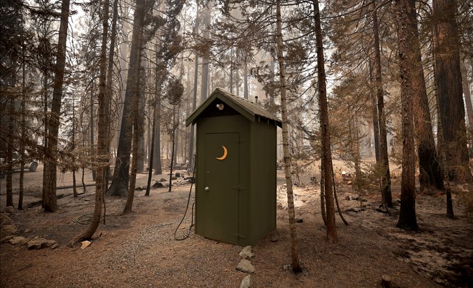
On a positive note - some homes did survive. Someone just told me there were only 12 building standing in Grizzly Flats proper but my impression and hope is that the number is not that low.
Here is a friends house that survived inside Grizzly Flats proper - praise God!!! You can see one or two other buildings in the background which gives me hope that we have a fair number of houses on the west end of Grizzly that survived.

Lots of stupid rumors, but that is all they are - speculation and rumors. I am 99.999% sure there are no power lines anywhere near where fire originated. Speculation focuses on campers, tweaker-"campers", lightning strike, but I have not seen nor heard anything to substantiate any of it.
It started in the El Dorado National Forest south-east of Grizzly Flats. It started small and the powers to be kept telling everyone not to worry about it. It stayed in the 30-45 acre range for a couple days.
It then started down the canyon of the Middle Fork of the Consumnes - mostly on the southern side, then jumped to the north side and ran along the canyon below Grizzly Flats and the neighboring area growing to some 700 odd acres.
Then it blew up in the we hours Monday night and blew through the community.
Just saw they are saying the fire is 50,000+ acres... thus far the estimates have been behind the curve and conservative (low).
I also saw there was a flare up this morning on Consumnes Mine Road which is **just** outside Grizzly Flats proper - like on the zip code line - it is the same community but legally no longer Grizzly Flats but rather Somerset. Hopefully they snuffed that out quickly.
On a positive note - some homes did survive. Someone just told me there were only 12 building standing in Grizzly Flats proper but my impression and hope is that the number is not that low.
Here is a friends house that survived inside Grizzly Flats proper - praise God!!! You can see one or two other buildings in the background which gives me hope that we have a fair number of houses on the west end of Grizzly that survived.


Comment